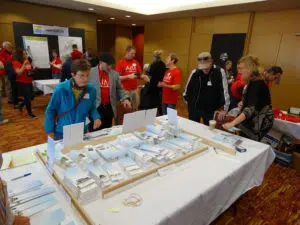
Community Engagement
The best planning processes include community leaders, landowners, citizens, and stakeholders. What often differentiates successful communities from their neighbors is

The best planning processes include community leaders, landowners, citizens, and stakeholders. What often differentiates successful communities from their neighbors is