FEMA Floodplains Explained: Misconceptions and Emergency Preparedness Responses
The public’s understanding of Federal Emergency Management Agency (FEMA) floodplains is often clouded by misconceptions, leaving communities vulnerable when disaster strikes. While FEMA’s flood maps serve as important planning tools, they are a static representation of a theoretical “perfect storm” and don’t consider the future effects of the changing climate, sea-level rise, or flash flooding events. However, with certain resources—like the FEMA Mobile App and United States Geological Survey (USGS) streamgages—and the knowledge to use them, you can prepare and make informed, life-saving decisions in a flooding emergency.
Know Your FEMA Flood Zone and Understand Its Limitations
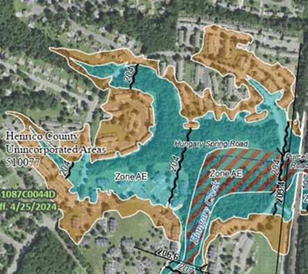
The best way to understand your flood risk and prepare accordingly is to review FEMA’s flood maps for your property, which can be accessed by entering your address into FEMA’s Flood Map Service Center. These maps show areas that are at risk of flooding during various storms, with most properties falling into:

![]() 1% Annual Chance (100-year floodplain)
1% Annual Chance (100-year floodplain)
![]() Floodway (100-year floodplain)
Floodway (100-year floodplain)
![]() 0.2% Annual Chance (500-year floodplain)
0.2% Annual Chance (500-year floodplain)
![]() Area with “Minimal Flood Hazard”
Area with “Minimal Flood Hazard”
Misconception 1: “100-year floodplain means flooding only happens once every 100 years.”
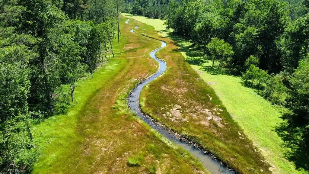
If your property is within the 100-year floodplain, there is a 1% chance of a flood occurring on your property in any given year. Although a 1% chance each year sounds low, over the course of time, that risk adds up. For example, over a typical 30-year mortgage, there’s about a 26% chance a property could flood during that time, and this is just the baseline. The 100-year floodplain also includes the floodplain from smaller, more frequent storms like the 10-, 25-, or 50-year events. These floodplain boundaries do not appear on FEMA’s flood maps but depending on how close your property is to a water body (like a creek, river, or swamp), your actual risk could be much higher.

Misconception 2: “FEMA flood maps are always up to date and accurate.”
Your property’s flood risk according to FEMA’s flood maps may not be fully accurate. As the world constantly changes, it takes time for FEMA’s flood maps to reflect current conditions. For example, development typically changes land cover, from agricultural or forested land to buildings, roads, and parking lots, which generates more runoff in a 100-year storm. Development also changes topography, altering how runoff moves in a watershed. Budget limitations often prevent government agencies like the USGS, National Oceanic and Atmospheric Administration (NOAA), and the United States Department of Agriculture from collecting current topographic, rainfall, and land cover data. As a result, FEMA’s flood maps still use rainfall estimates published in 2000 to determine floodplain boundaries, limiting the accuracy of these datasets relative to current conditions.
Even if all the current data is available, building and validating a floodplain model is lengthy and includes a thorough review and appeals process before the model is officially adopted. In fact, the typical cycle for a flood map update takes anywhere between five to seven years, showing that even in a perfect world, FEMA’s flood maps can never be fully up to date.
If your property is located near a FEMA mapped water body, there is a way to check how current FEMA’s flood map is for your property. Complete the following steps:
-
- Step 1: Navigate to FEMA’s Flood Map Service Center.
- Step 2: Enter your property’s address into the search box.
- Step 3: Review FEMA’s flood map for the following information.
- Effective Date — This date reflects when the map officially went into use (i.e., published). Don’t be misled! While the Effective Date on a Flood Insurance Rate Map Panel tells you when the map became official, it doesn’t always reflect how current the underlying data is.
- Water Body Name — This name reflects which stream, river, or swamp is being mapped.
- Community Number — This is a FEMA specific number.
- Step 4: Click on the Show ALL Products» button.
- Step 5: Click on the Effective Products button.
- Step 6: Click on the FIS Reports button.
- Step 7: Click on the DL button, which will open a new window with the Flood Insurance Study (FIS).
- Step 8: Search the document for the water body name that is on the FIRM Panel your property is within and look for a table with a column titled “Date Analyses Completed” to know when your floodplain mapping was created.
Not all water bodies will appear in the FIS! If this is the case for you, FEMA’s flood maps for your property are likely generated based on “approximate methods.” These floodplains are generally older and often inaccurate.
Misconception 3: “I’m outside of the floodplain, so I am safe.”
When Congress created the National Flood Insurance Program in 1968, it needed a way to decide where flood insurance should be required and where stronger building codes should apply. So, they chose the 100-year, 24-hour storm—a theoretical “perfect storm” because it was statistically useful and manageable.
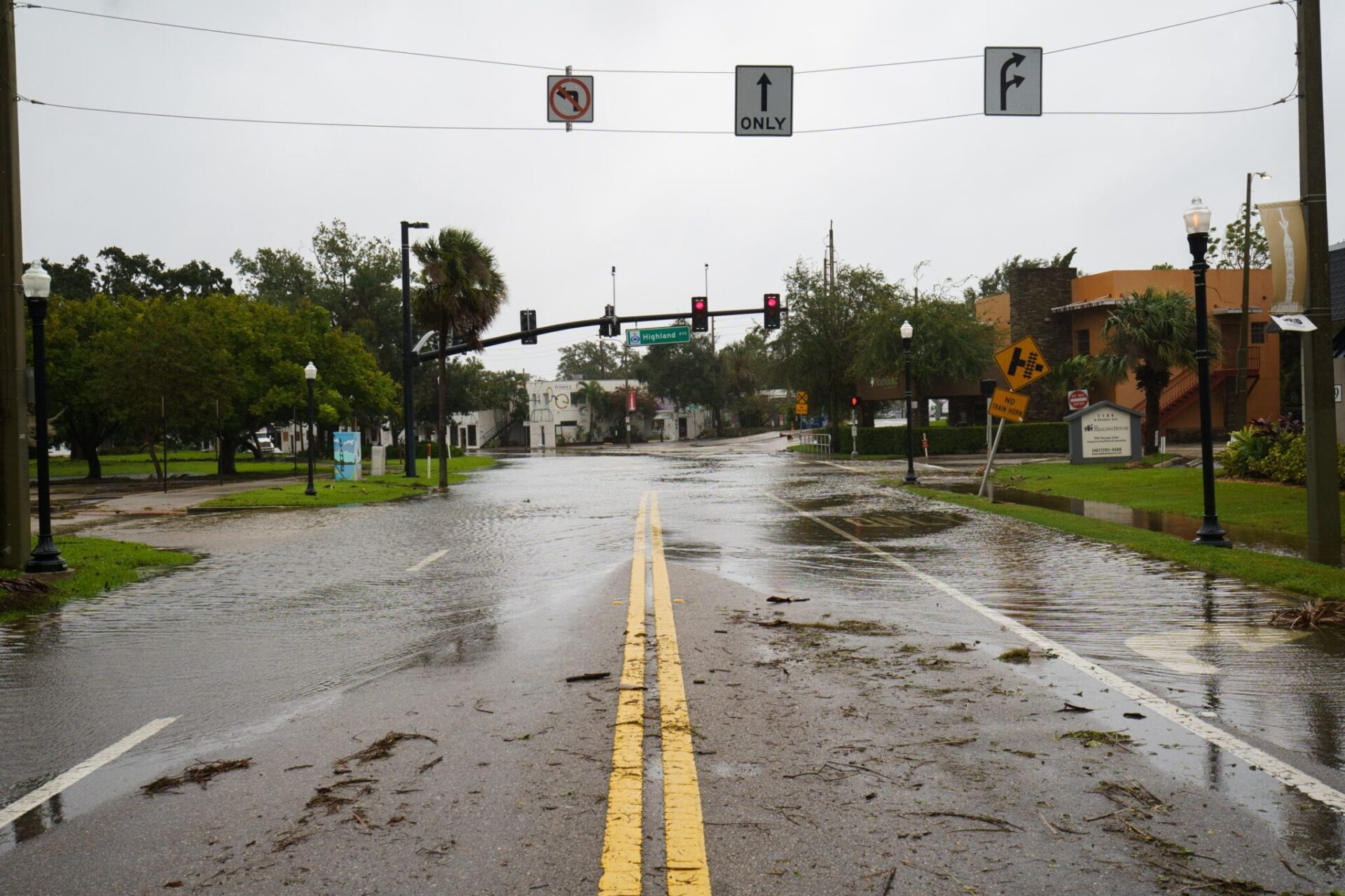
Consider what happened in Kerr County, Texas, on July 4, 2025. In only 3 hours, the Town of Hurt was hit with 6.5 inches of rain, matching the intensity of a 100-year, 3-hour storm event for this area. The result was devastating flash flooding, which left much of the community, including Camp Mystic, devastated—even though it was located mostly outside of FEMA’s mapped floodplain. Intense storm events like this can overwhelm rivers and creeks in ways that FEMA’s flood maps don’t account for, highlighting the importance of preparing for flood emergencies even if your property is not in a FEMA floodplain.
Prepare Today, Not Tomorrow
The best way to be prepared is to stay informed and take the time to learn how to prepare for and respond to different types of emergencies. Be aware of watches, warnings, sirens, and how you should react to each unique situation, and evacuate or shelter in place as advised by local officials. Don’t wait until a disaster strikes to learn how to stay informed. There are resources provided by FEMA and State Emergency Agencies which can also help you prepare and increase your situational awareness during a disaster in real-time:
- FEMA Mobile App – Directly connected to the National Weather Service (NWS), the FEMA app allows you to receive real-time weather alerts for up to five different locations. There are also numerous articles under the “Prepare” tab on how to prepare for and react to different types of natural disasters.
- State Emergency Management Agencies – Responsible for handling emergency response resources and funding, these agencies also manage and distribute state-specific preparation information, like hurricane evacuation routes. Visit and explore your state’s Emergency Management Agency website to learn more about the resources available to you and your community.
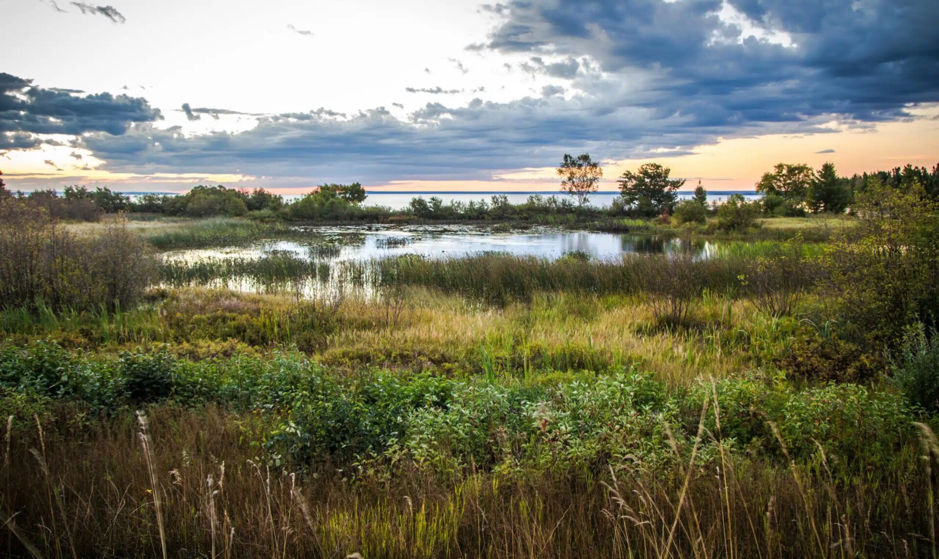
Additionally, there are thousands of streamgages across the US can measure the ‘stage’ of a waterbody, which is the elevation of the water level. If your community does not have a streamgage, you can contact your community’s engineering office to see if they would consider installing one. To see if there is a streamgage near your property and better understand your flooding risk, complete the steps below.
- Step 1:
Access the USGS National Water Dashboard. This is an interactive map that shows the location of every active streamgage in the United States. If you live on or near a water body, find the streamgage nearest to your property and click on it. - Step 2:
Access the NWS Forecast for the selected streamgage. The link to the NWS Forecast will be in the top right-hand corner of the pop-up after you have clicked on the streamgage in the USGS National Water Dashboard. The NWS Forecast shows both observed and forecasted stages and identifies thresholds for flooding.
NWS Forecast
-
Step 3:
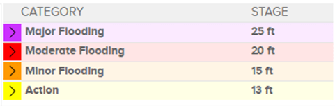
Access the USGS WaterAlert for the selected streamgage. The link to the WaterAlert will be in the top right-hand pop-up after you have clicked on the streamgage in the USGS National Water Dashboard. WaterAlert allows you to sign up for text notifications based on stage thresholds. To use this resource in real time, consider setting up alerts to align with the NWS Forecast flood categories described below:- Major Flooding – Extensive flooding impacting buildings and roads, often requiring evacuation of people and property to higher elevations
- Moderate Flooding – Some flooding of buildings and roads near stream
- Minor Flooding – Minimal impacts to buildings or roads but flooding could be a threat to the public
- Action – Level where NWS or the community may take action to prepare for flooding
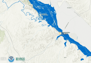
New tools are emerging all the time, especially as AI-driven flood modeling is becoming more prevalent. For example, NOAA recently launched a Predictive Floodplain Mapping Service, which is currently experimental and only covers a portion of the United States. The tool uses real-time streamgage data to generate flood maps like FEMA’s. As technology advances, there will be even more ways to stay informed and prepared.
Understanding your unique flood risk goes beyond relying on FEMA’s flood maps. To truly understand your flood risk, it is imperative to understand flood map limitations, explore other resources, and make an action plan. Whether it’s downloading FEMA’s Mobile App, reviewing your local streamgage data, signing up for WaterAlerts, or simply having a conversation with your family—every step you take builds resilience.
How Can We Help You?
At Kimley-Horn, we’re helping clients across the county better understand and prepare for flood risks. Whether you’re a landowner, developer, or community leader, our team of stormwater professionals can support you in evaluating flood risk using FEMA flood maps or by creating independent floodplain mapping tailored to various storm events, the changing climate, and land use scenarios—especially in areas where FEMA’s flood maps are outdated. We also guide clients through floodplain permitting requirements and applications at the local, state, and national levels, from small sites and watersheds to entire cities and regions. Let us help you empower your planning with floodplain insights that drive smarter, more resilient decisions.

Related Insights