UAV / Drone Services
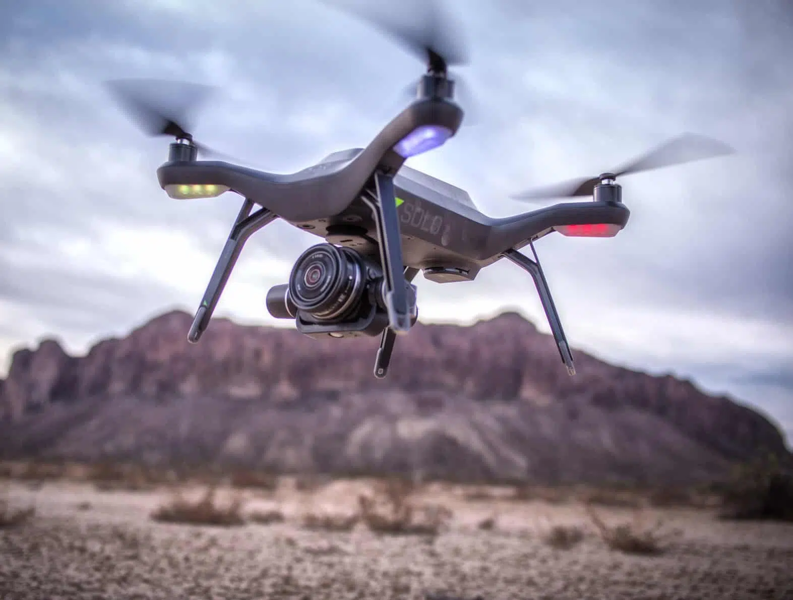
Drone technology is drastically changing the face of engineering mapping, measurement, and modeling. Employed correctly, Unmanned Aerial Vehicles (UAVs)—also known as drones—can improve the efficiency and effectiveness of your projects. By allowing easier access and capturing volumes of highly accurate data in less time, UAVs can reduce project costs. By allowing close-up inspection of hard-to-reach structures, rugged terrain, and remote sites, they can reduce risk. And by providing real-time project information and accurate side by side comparisons, they can facilitate informed decision making, improving project quality.
Drone Technology Takes Off
It’s easy to see why the use of UAVs is expected to skyrocket in the coming years. But to enjoy the benefits of this technology you need technical experts who understand how to apply it. That’s where we come in. Kimley-Horn is an innovative leader in the use of UAV technology. Our talented team of FAA-certified remote pilots and their fleet of highly capable drones are ready to work on your next project.
Some of the applications of UAV technology include:
- 3D Survey / Ortho-imagery – Create 3D high-resolution site models for BIM to aid in site planning
- Site Scanning / Point Cloud Capture – Quickly capture and transfer data to the cloud for speedier inspections
- View-shed Analysis – Access view and angles beyond the limitations of ground-level photography and feed data to GIS systems
- Inspection – Reduce the risk of inspections in difficult-access areas and save video for later analysis
- Construction Site Assessment – Reduce the time needed for site assessment and tall structure inspection
- Pavement Analysis – easily zero in on areas of concern; automate flights for side-by-side analysis over time
- Photography / Videography – Capture high-resolution video without need for expensive helicopters
Our Recent Work
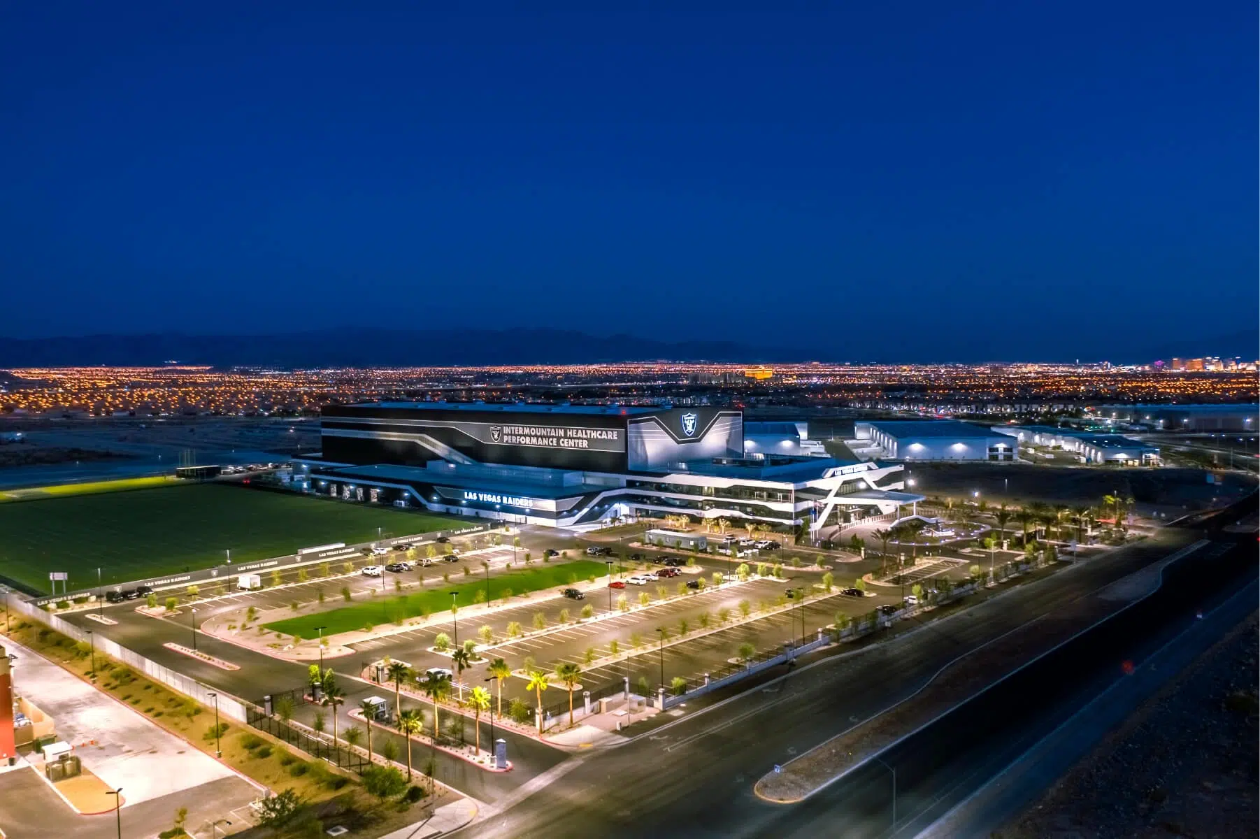
- Fort Lupton Proposed Discovery Site and Landscaping | Fort Lupton, CO
- Broadway Cycle Track | Denver, CO
- Colorado Springs Downtown Partnership | Colorado Springs, CO
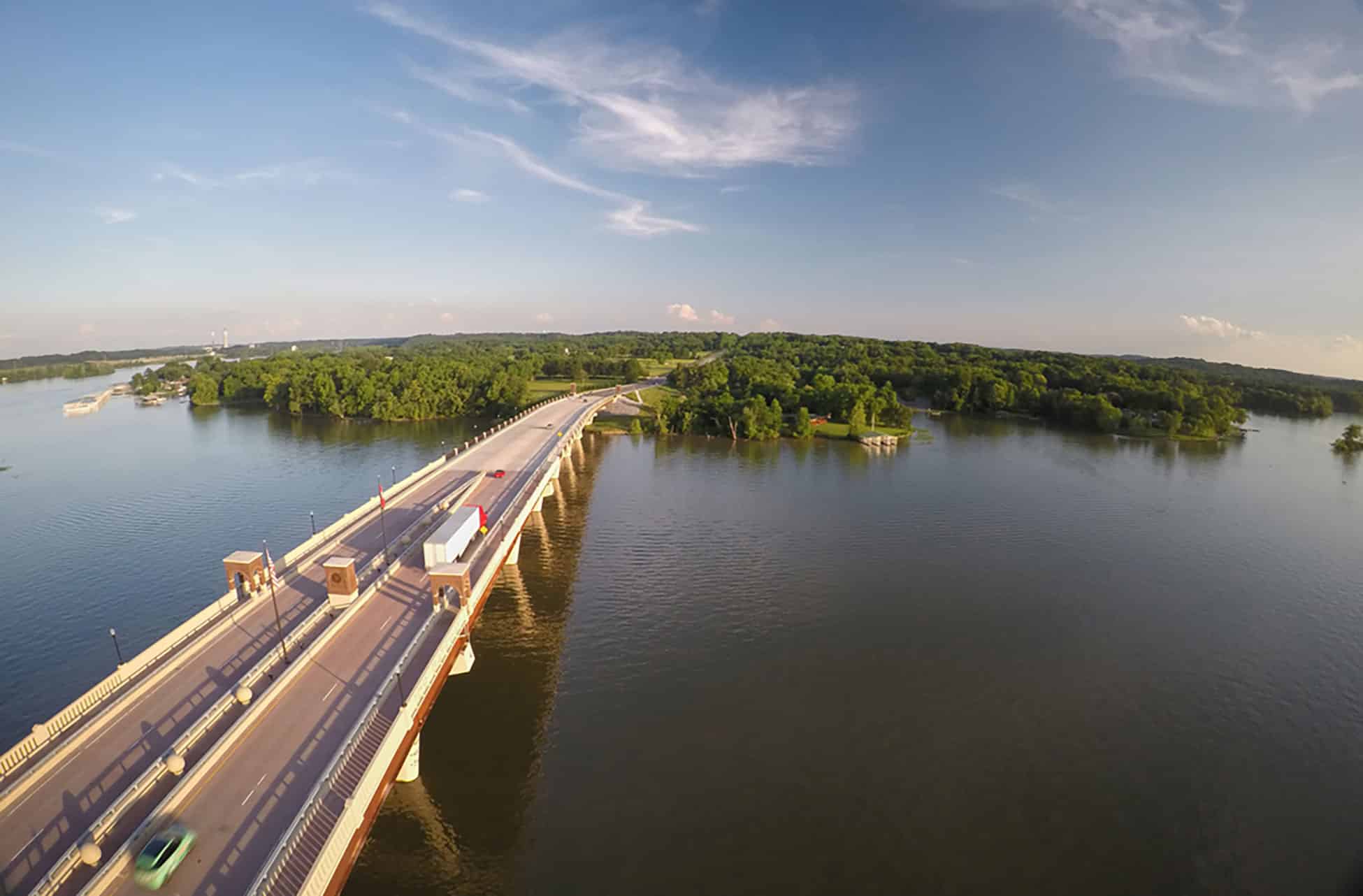
- Johnny Cash Trail Bridge | Folsom, CA
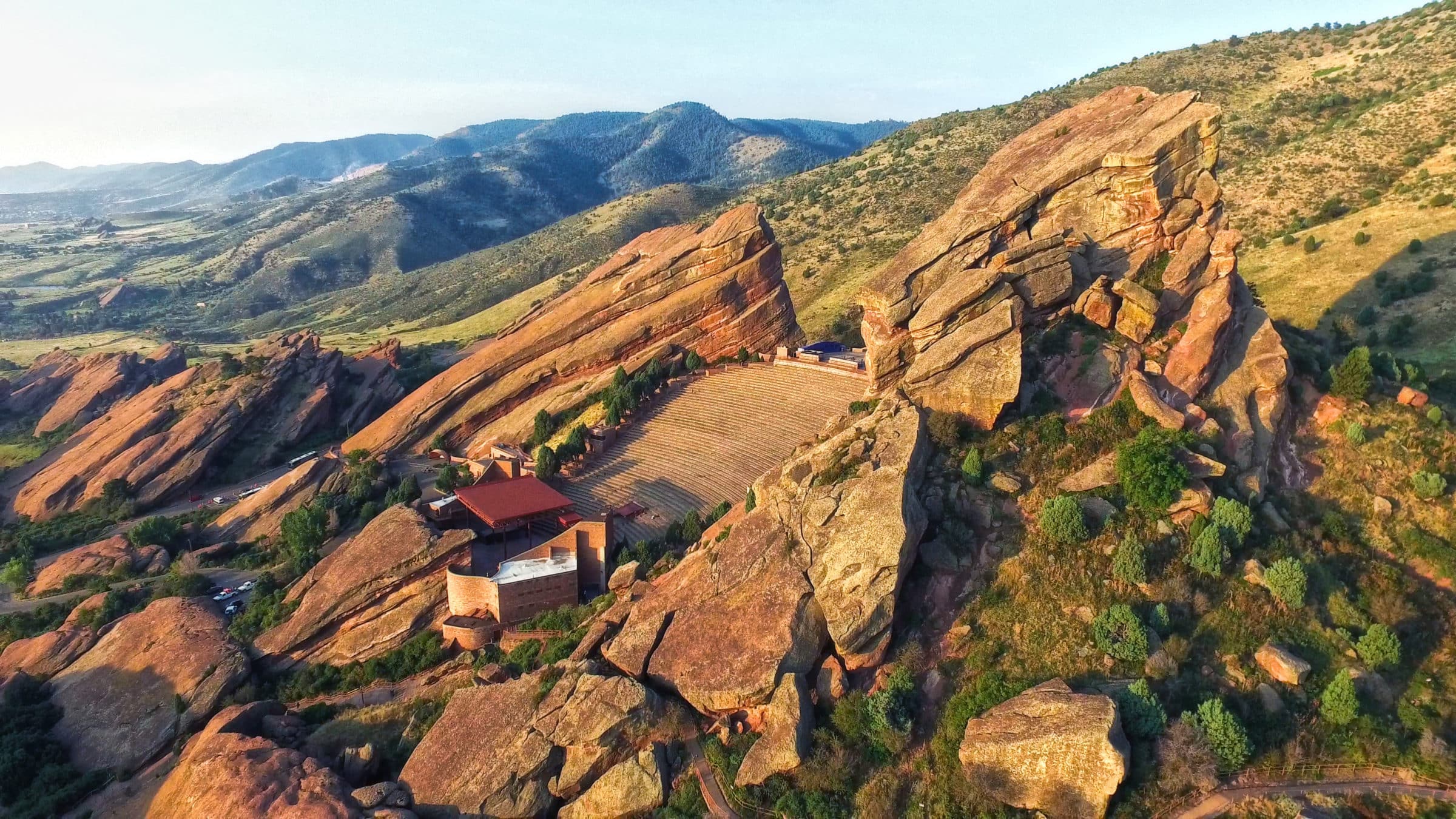
- Red Rocks Park and Amphitheater – Autodesk Site Scan | Morrison, CO
- Red Rocks Amphitheater – Drone Video Compilation | Morrison, CO
- SNS Iron Works | Erie, CO